
Environment
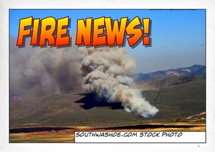
Diablo Fire Threatened Pleasant Valley and Toll Road Areas
UPDATE: August 3, 2026 at 10:47am: Size updated to 185 acres per Watch Duty.
As reported by the last WatchDuty app update posted at 9:00pm on Sunday, August 2, 2026, forward progress of the fire had been stopped. Located on the ridge about 2 miles south east of Pleasant Valley and northeast of New Washoe City, winds were pushing the fire to the northeast and a Evacuation Warning was issued for the Toll Road, lower Geiger Grade areas.
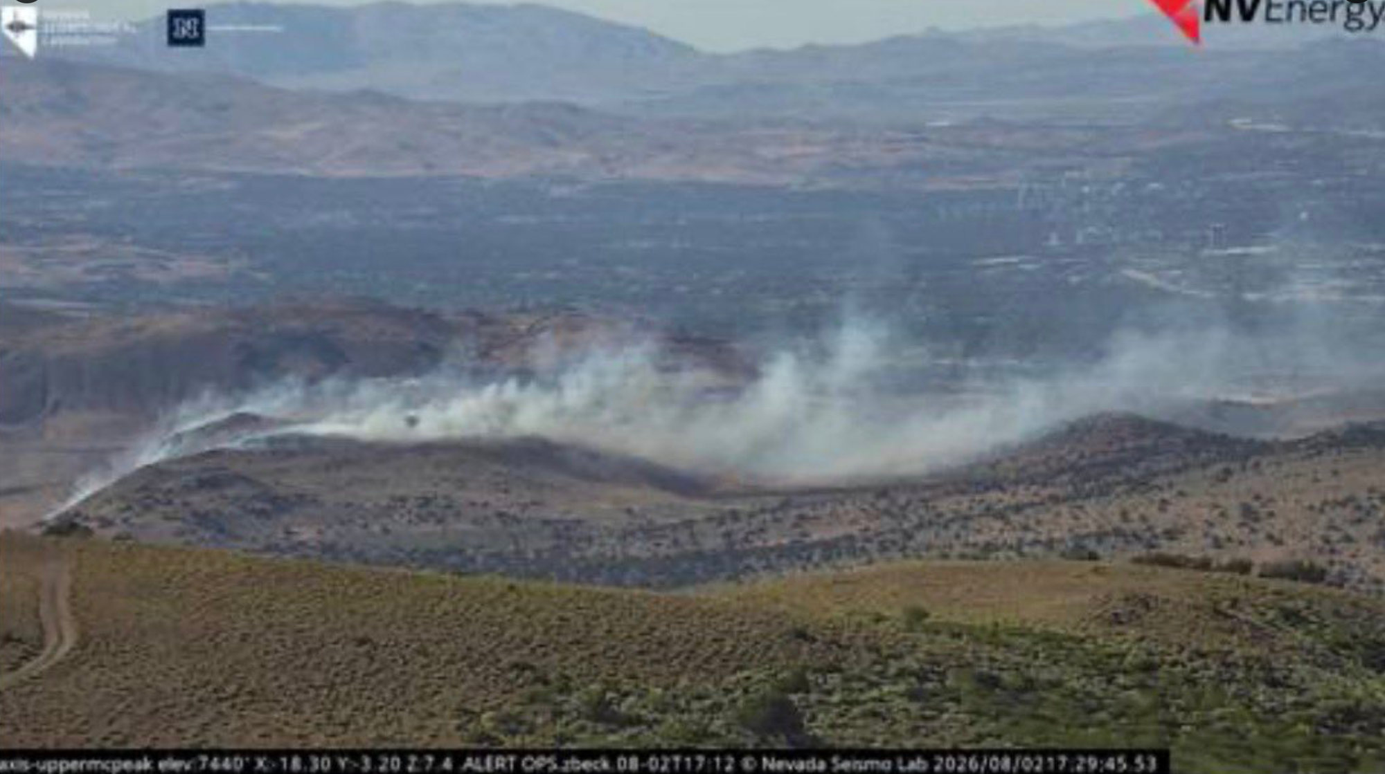
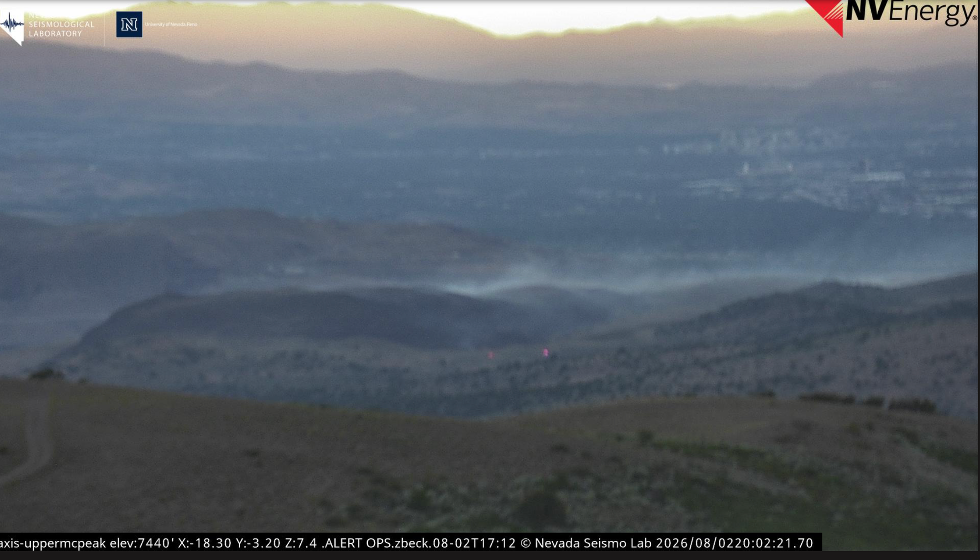
The fire was first reported on Watch Duty at 5:28pm as local fire units were dispatched. The fire was in mixed grass and sage and has burned in previous years so supposedly the fuel load was relatively low which aided the fire fighters. Local fire cameras showed mostly smoke.
6:00pm
8:20pm
2News Nevada Photo:
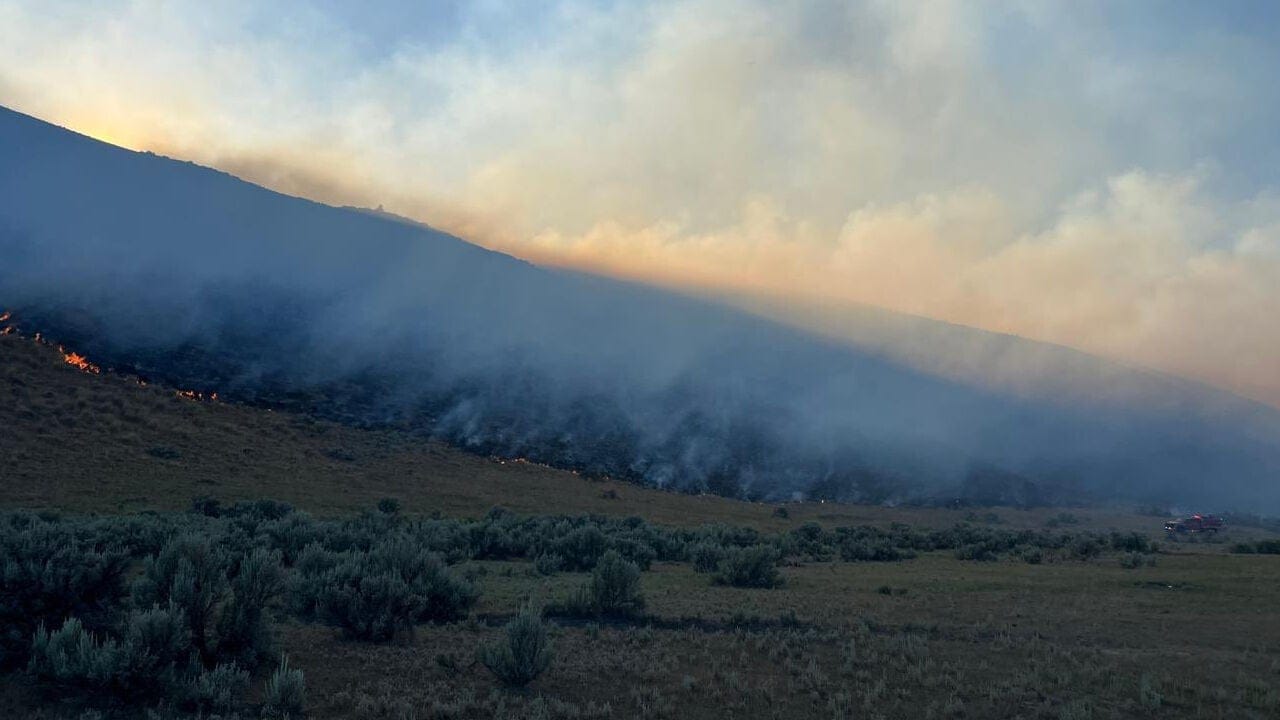
Citizen posts on social media reported a Chinook helicopter loading water from Washoe Lake to drop on the fire. Another post noted that air units from California were also utilized. Multiple local agencies are reported to have responded including Truckee Meadows Fire, BLM, Sparks Fire and Storey County Fire, Carson City Fire as part of their mutual aid assistance.
The fire was reported to cover 90 of BLM land when forward progress was stopped.
The cause is under investigation.
This article will be updated as new information becomes available.
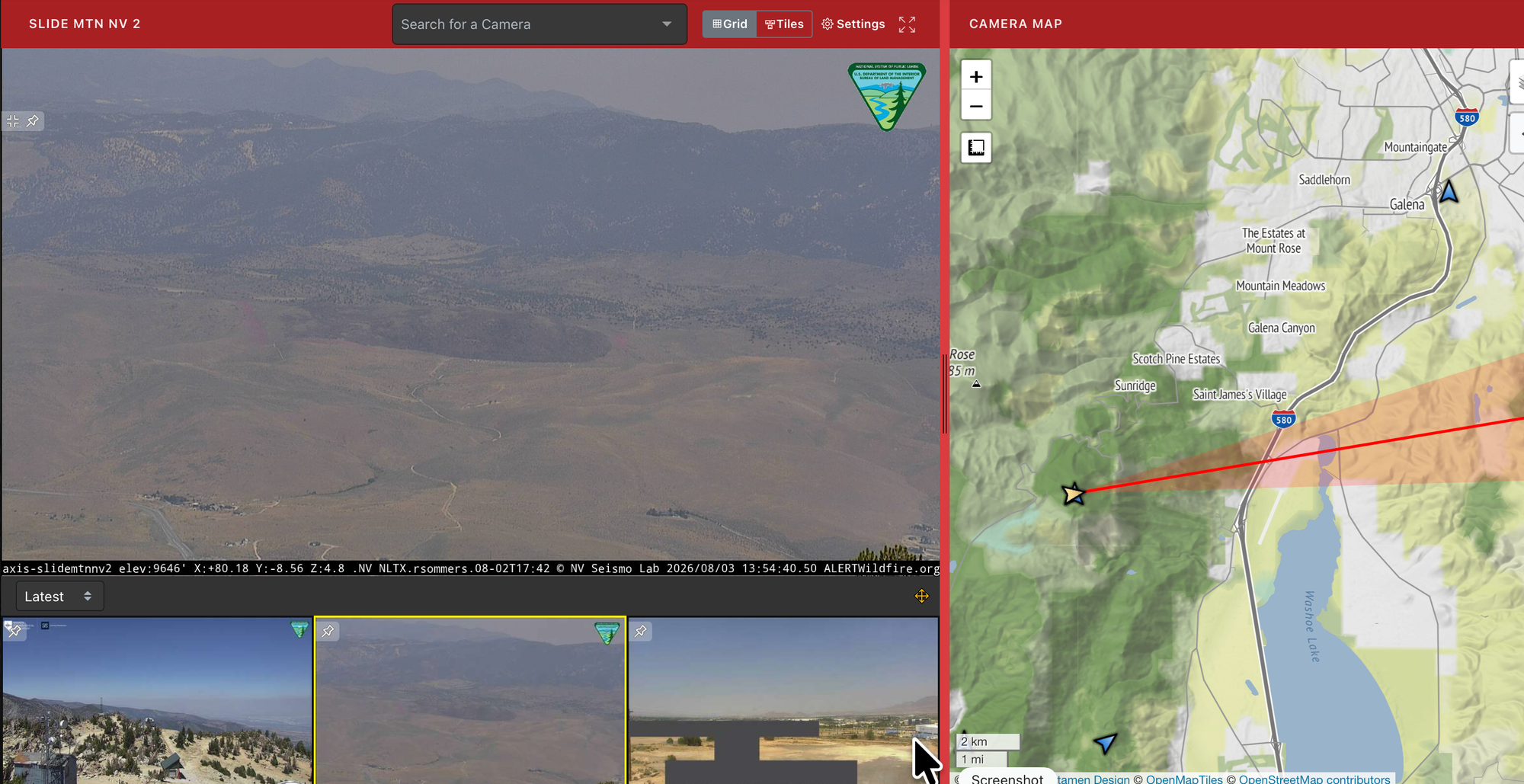
View across fire area at 1:54pm on august 3, 2026. Lots of haze but you can see a little white smoke at the top.
Members Discussion